Sophie Stouki
As a chartered geographer in geographic information system (GIS) technology, Sophie takes great fulfilment in combining her 12 years’ experience, skills and knowledge of the latest GIS technologies to drive operational efficiencies that enable better, faster, safer and more cost effective project delivery and asset operations.
- Service 1
Group head of GIS
- Service 1
Digital advisory
- Service 1
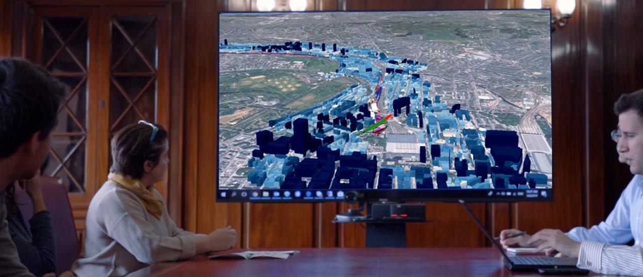
Geographic information system (GIS)
About Sophie
Having completed an MSc in GIS and spatial analysis from University College London, Sophie went on to apply her geospatial skills in the architecture engineering construction (AEC) industry. After achieving operational efficiencies and improvements through GIS in that role, she moved to the insurance industry where she assumed the role of technical lead for geospatial data implementation and management towards natural catastrophe modelling and analytics. The next big step in Sophie's career was assuming the role of GIS lead for Heathrow Runway 3, as she moved back to the AEC industry. Naturally she moved into her current role where she leads Costain’s geospatial technology and consultancy capabilities.

Sophie on how GIS technology solutions can help clients manage the impact of COVID-19
Sophie believes the use of GIS technology will play a key role in delivering a more resilient, productive, thriving economy fit for the future as it helps organisations to better understand the complexity and inter-connectedness of their operations and how the Coronavirus pandemic is affecting their business.
As we navigate our way through the pandemic, Sophie believes having the ability to organise and map the status and performance of facilities, employees or citizens, medical resources, weather conditions, equipment, goods, and services in real time on a single integrated platform will enable business to optimise operational intelligence, make smarter decisions and rapidly respond when and where it is needed most.
Sophie on the most common misunderstanding of the GIS profession
Sophie acknowledges that the most common misunderstanding of the GIS profession is that it’s perceived as a suite of software solely for data visualisation. In reality, a GIS professional combines a plethora of technical analytical and problem-solving skills, as well as business development acumen, in order to gauge client requirements and deliver geospatial products and services that fulfil clients’ needs.
Connect with Sophie on LinkedIn
Email us to learn more about geographic information system technology or to find out how we can help with your next infrastructure project.
Our experts are your experts