Data capture, BIM, GIS mapping and analytics
Deep understanding of your existing infrastructure and environment to help ensure seamless project delivery
We help you capture, analyse, visualise and share vital information with stakeholders that will improve the safety and delivery certainty of your infrastructure schemes.
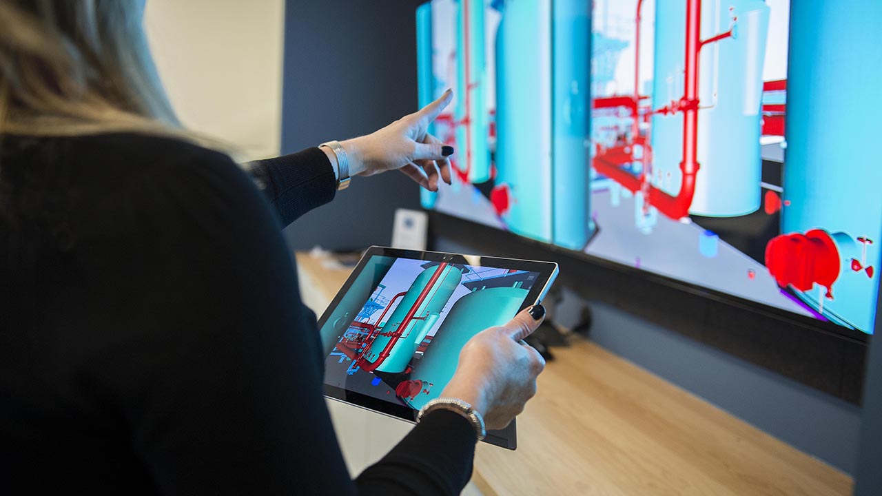
We provide the advice, technology and processes you need to gather, analyse, visualise and share vital asset information with stakeholders that allows you to make informed operational interventions and drive higher quality, faster delivery and better safety. We use a range of digital tools to collect new data, for example, drones or laser scanners and provide a complete, 3D digital representation of your asset, infrastructure or environment using building information modelling (BIM) and geographic information systems (GIS). You’ll benefit from our advisory, technical, delivery and operational expertise, which we’ll draw on to help you to meet your regulatory obligations and the needs of your customers.
Key benefits
- Analyse historical data to more accurately predict the challenges and cost of project delivery, as well as set a realistic schedule.
- Use the latest technology to help you design and deliver major infrastructure schemes safely, efficiently and more cost-effectively.
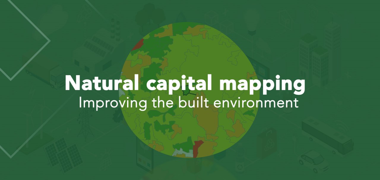
- Reduce, even enhance, your impact on the environment through, for example, biodiversity mapping and by understanding natural capital.
- Help the communities living and working near project sites understand the impact of the different phases of infrastructure development, for example, with traffic and pedestrian modelling or noise and visual impact assessments.
- Use technology to reduce the amount of time people spend in hazardous environments, for example, at the roadside or near busy rail lines to improve safety during project delivery, as well as during operation and maintenance.
Why choose Costain
Our deep understanding of infrastructure development and operations across multiple sectors means we know what data needs to be mapped or modelled for the most valuable insights and how to minimise disruption when capturing it.
Leading-edge digital tools
Related
30.03.21
A better blueprint for greener infrastructure
05.06.20
How can infrastructure do more to boost biodiversity?
23.05.19